Thames
Dominic Rose
A selection of prints and a large format Artist’s book will chart the Artist’s 100 mile walk along the Thames Estuary from London to Margate.
The Artist’s text to accompany the work is reproduced below.


A 100 Mile Walk From London to Margate
Lockdown. One hour of outdoor activity a day. Torn between following government advice on exercise allowances and government advice on using common sense I ventured out into a deserted Thanet. I was never stopped but I had my answer prepared: “Just doing a bit of art, officer.” After all, this was part of my working day. I started criss-crossing Thanet by bike and on foot. Walking, observing, recording.
I was quickly reminded how connected the thought process is with walking. To wander, to ramble, to divert are all words that can be equally applied to walking or thinking. One theory suggests that by increasing blood circulation to the brain, walking improves our thought process and creativity. Hamish Fulton, perhaps the artist most associated with walking, argues that ‘walking is an artform in its own right’.
On the far end of the Thames estuary, Margate seems quite disconnected from the Thames. Historically, before the railways brought Londoners to many British seaside towns, it was river traffic from London which established Margate as a destination. Container ships providing London with the majority of its goods pass silently, shrouded on the horizon. River traffic has been passing Margate on its way to London for thousands of years, though now the container ships only go as far as Tilbury Docks or London Gateway, some 30 miles downriver from the Pool of London. London has expanded to almost the full length of the river.
Once the primary artery into London, the Thames, now neglected and unloved, feels abandoned. I decided to make a pilgrimage along the river that spawned the capital city and to which Margate is inextricably connected.
Driving, you barely see anything of the Thames or its estuary (though Watling Street has its own proud history). The train offers tantalising snap shots of the route, but nothing more. High speed travel is no way to appreciate a landscape. I have cycled the route but, again, the Thames was surprisingly elusive. This walk would trace the vagaries of the shoreline.
Walking has for a long time been a dissident act. The 19th Century produced dozens of groups campaigning for rights of way lost since the arrival of the Normans and their laws on land ownership. In the 20th Century many of these organisations, rooted in the industrial areas of England, merged to form the Ramblers Association. In 1949 they succeeded in bringing about legal rights of way throughout Britain. Still constrained by the increasing proportion of land which is privately owned and in many cases patrolled, it is important to keep re-treading those paths.
The act of walking is a challenge to authority and consumerist orthodoxy. Though not impossible, it is hard to commodify walking. Its slow gratification is at odds with the immediacy of nearly every aspect of life. A walk draws us away from the technologies on which we have become dependent, away from commerce and consumption. Landowners and developers understand the dangers posed by walkers only too well, employing security guards to enforce their claim to the land.
“Exploring the world is one of the best ways of exploring the mind, and walking travels both terrains,” writes Rebecca Solnit. Between land and water, the Thames Path is a liminal space ripe for exploration. Walkers allow ourselves to be guided, pace after pace, along the water’s edge. We permit our thoughts to ebb and flow like the tides, at times lucid, at times drifting unconsciously. Walking simultaneously connects us with the landscape and challenges our embedded patterns of behaviour. There is a clarity of thought at 3 miles per hour.
I began A Walk from London to Margate at Blackfriars at noon on 23 July 2020. After 6 days of walking in several stages I reached the Isle of Grain, the point which marks the end of the Thames and the beginning of the estuary.
Walking the Thames gives you a unique experience of London. It slices through the capital, providing you with a cross section of history. The river had been central to the prosperity of London until, late in the 20th century, the docks and wharves nearest the city were abandoned. The decline slowly radiated outwards. Regeneration projects and housing development eventually followed in its wake. Industry was pushed further and further out onto land that was once an integral part of the river’s ecological systems.
For centuries the Thames had evaded our control. It grew and shrank with tides and with the seasons. Islands formed, shores eroded. Slowly we drained marshes and built riverbanks, fixing its course. Now it is London that is amorphous and out of control. I kept expecting it to end. First at the docks, then perhaps the Thames Barrier. It showed no signs of abating as I passed under the Dartford crossing. If anything the London Orbital attracted more industry, the kind we prefer not to see, or smell. At Gravesend, a vast park of shipping containers provide London with storage capacity. The gravel and cement works, crucial to the seeming endless construction boom, line the Thames for over 30 miles as far as the Hoo Peninsula.
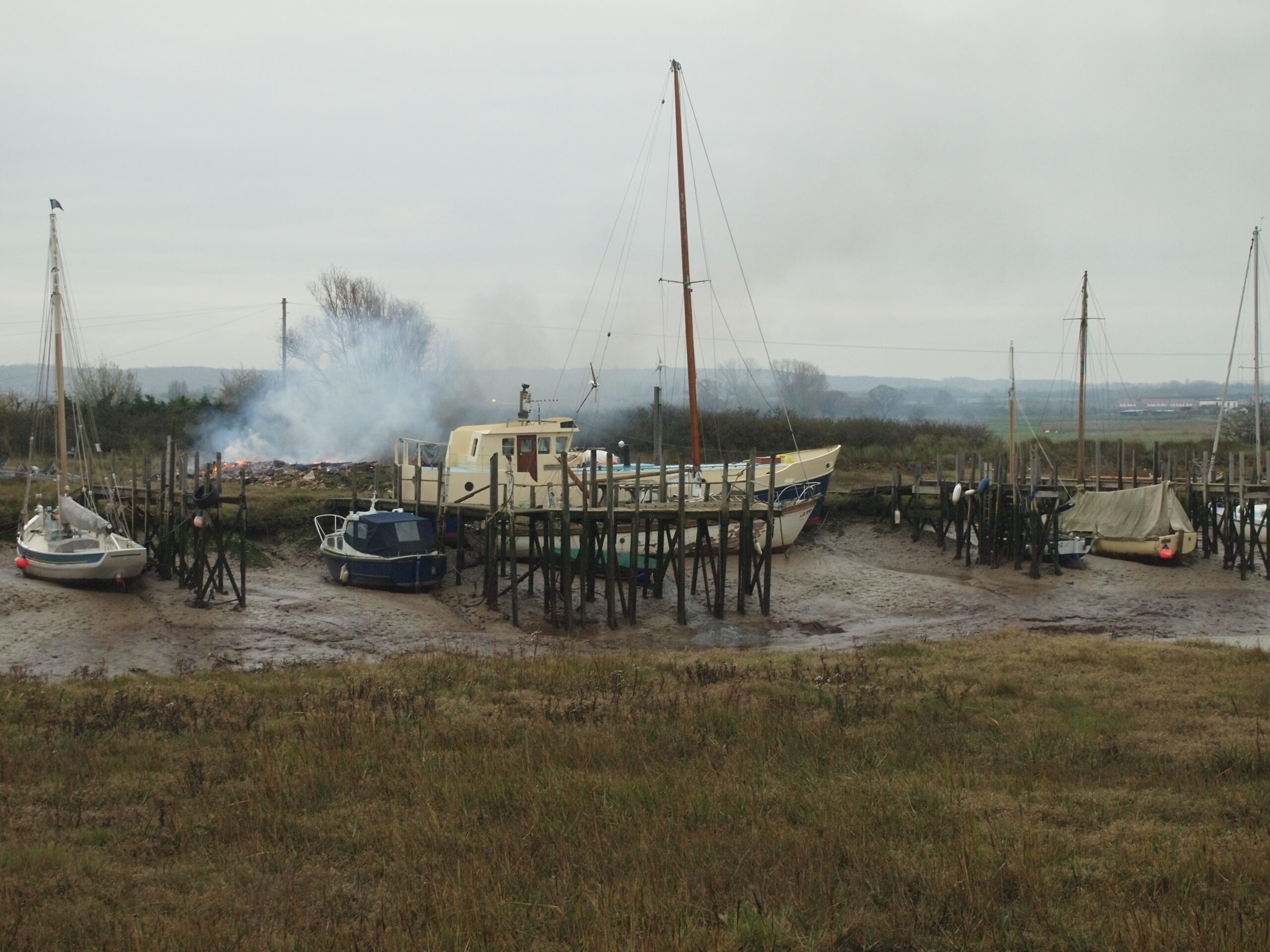
Amongst all this, the shoreline is scattered with old jetties, disused wharves, boatyards and other assorted remnants of the working river. Even the military have vacated their defences – I came across decommissioned forts at Gravesend, Shornemead, Cliffe, All Hallows, Grain and Hoo Marina. The naval land in Chatham is now a sprawling district of flats with the promise of waterfront living.
Beyond the Meadway Esutuary and its towns the shoreline retains more of its natural character. Though the marshes are were long ago drained for grazing the tidal creeks thick with mud remain, requiring long detours to the nearest crossing.
Like the Thames itself, much of this shoreline has been carved up for industry. Some sites, many former brickworks, are disused, reclaimed by time. In contrast those still active are a reminder of the requirements our 21st Century lifestyle has on the world.
Beyond Sittingbourne the towns become more spaced out with long stretches of path on the top of the sea wall. I can make out Southend on the far shore and a particular towerblock which on a clear day can be seen from the clifftop in Margate. Explosions from the MOD testing site at Shoeburyness reverberate across the estuary; an unwelcome reminder of the military presence on the Thames which must ave an unsettling affect on local residents of all species.
As I pass Reculver I am on the home stretch. Here the land is at sea level, protected by a concrete embankment stretching for miles until the white cliffs emerge from the sea near Birchington. Even here the we have found a way to wrap the foot of the cliff in cement.
The River Thames and it’s estuary nevertheless remains beautiful. Its tranquility seems absurd as it winds between the building sites, the towers of the financial district, through the disreputable heavy industries and the motorways and out into the North Sea. It is almost as if we have forgotten that it is there.
The following are a selection of photographs exhibited at Shopfront Margate July 2021 along with an artists’ book and risograph poster.